|
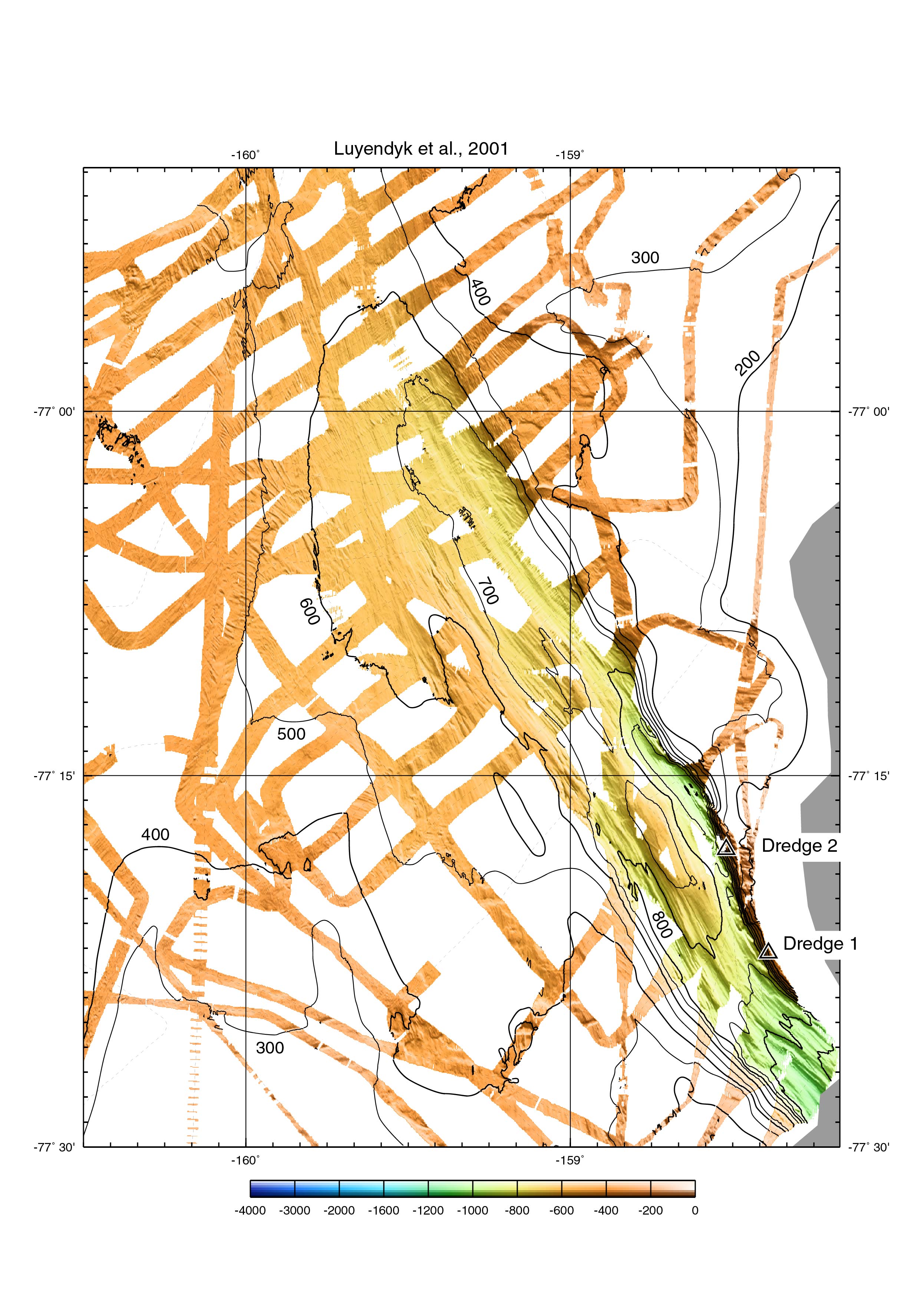
Color version of Figure 3b from Luyendyk et al., 2001. Shaded-relief SeaBeam
multibeam bathymetry map of the southeastern Colbeck Trough. Data gridded at 50 m,
Mercator projection, illumination from 050 deg. The grooves are real and are
mega-flutes/mega glacial striations. Some of the other lineations are iceberg
keel marks.
Kirsten Zellmer did a lot of the work on the multibeam data.
|
|
|
|
|