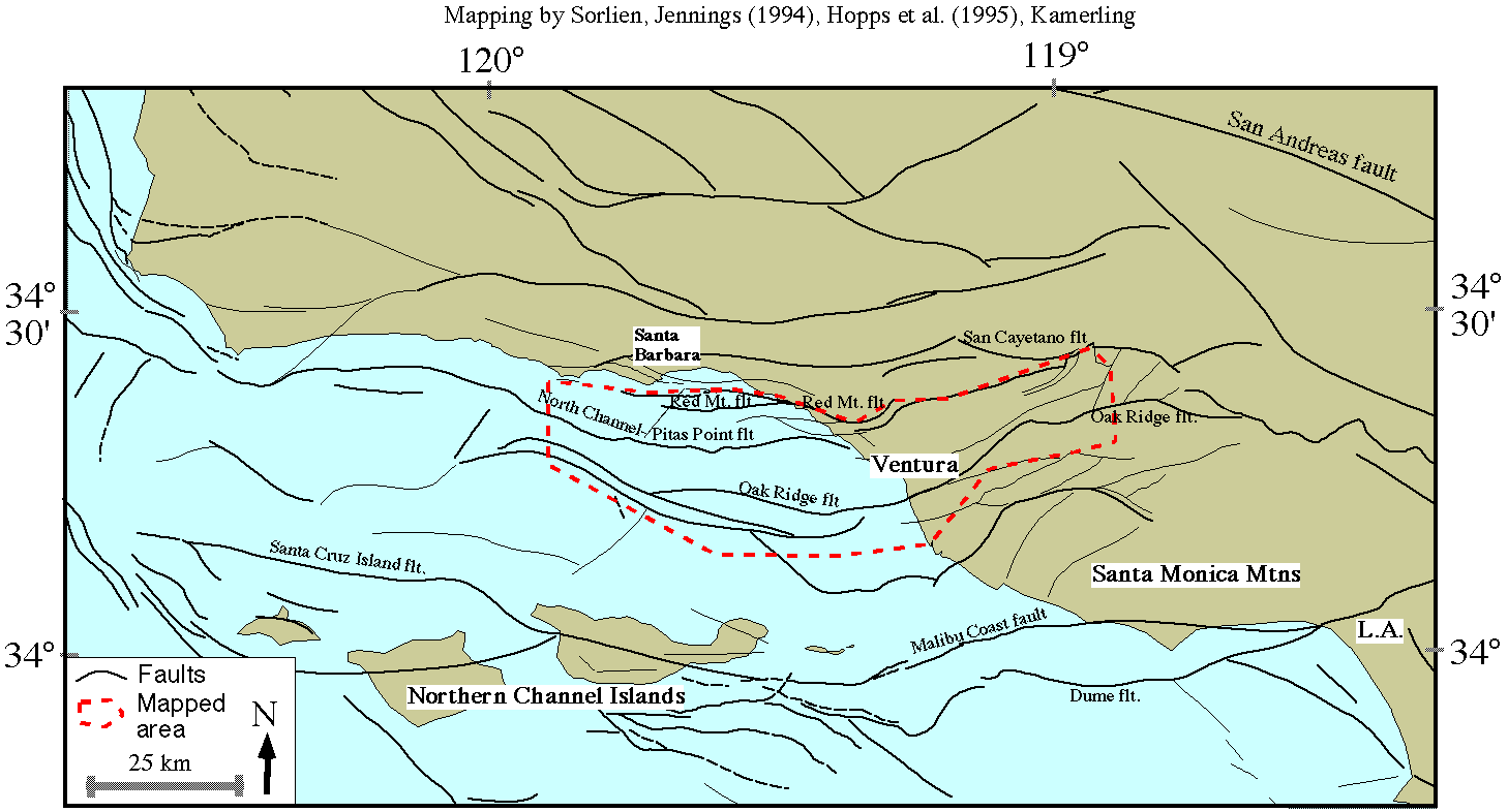
Supplemental Figure 1 for the Kamerling-Sorlien 1999 AGU abstract.
Mapping in onshore Ventura basin is from Hopps et al., 1995, and
is on several subsurface horizons. Offshore mapping is by Sorlien
and is on Miocene horizons, except south and east of the Northern
Channel Islands faults are mapped at the seafloor. Mapping in northern
Santa Barbara Channel is by Kamerling and is projected upwards to near
the seafloor. Other mapping from Jennings (1994). The area outlined in
red has been mapped by us on the top Lower Pico horizon (~1.8 Ma).
|
|---|