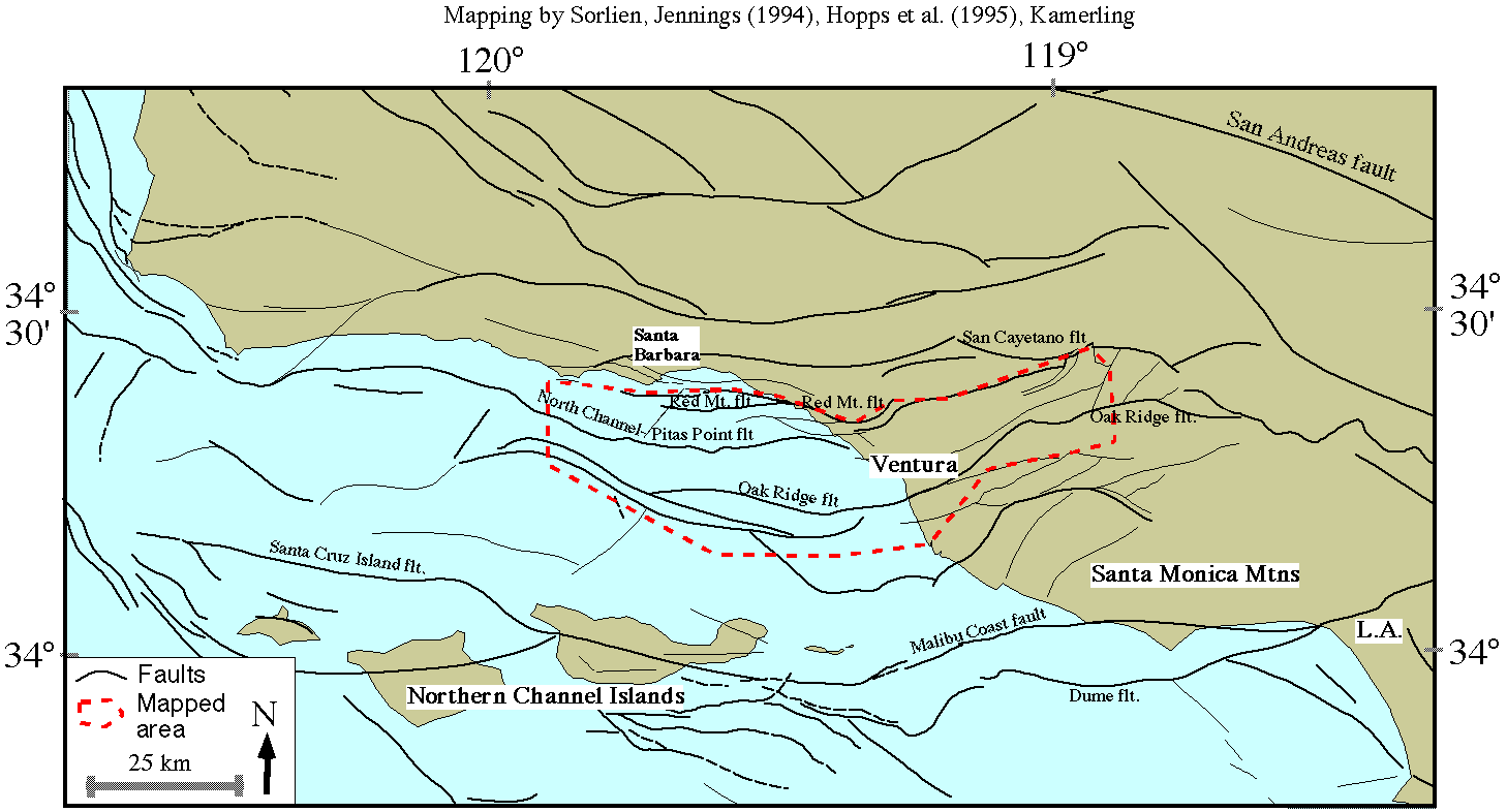
Supplemental Figure 1: Fault and location map of part of southern California. The area that we mapped and will discuss at A.G.U. is outlined in red. Click on image for larger view.

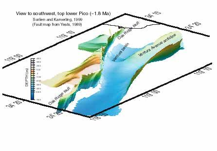
Supplemental Figure 2: Oblique view to the southwest of the structure-contour map of the top Lower Pico Formation ( ~1.8 Ma). Click on image for larger view.
last update: 28 September 2000